
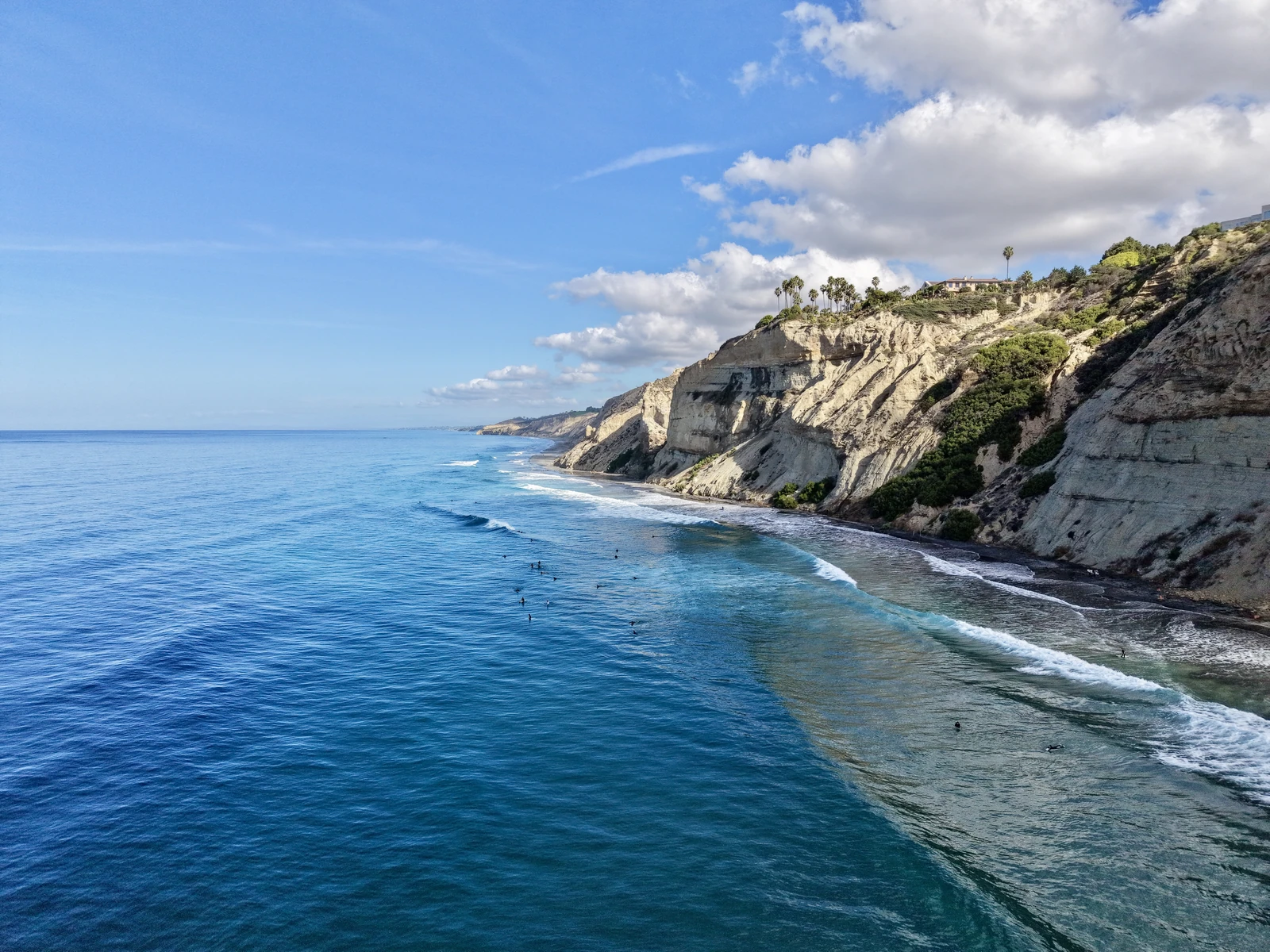
Coastal aerial photography by Kanyon Studio. This is a flight-work example, not a property listing.
By Kanyon · Kanyon Studio · Updated November 2, 2026
Drone photos are worth considering when they show something a visitor cannot understand from the ground: the relationship between a home and its garden, the arrangement of a larger property, or the setting around a vacation rental. If the strongest features are inside, well-planned interior photographs may deserve the budget first.
The useful question is simple: what will an aerial photograph explain that the rest of the gallery does not? Start there before adding drone coverage to your shoot.
When aerial photos add useful context
Aerial coverage can help describe a property with outdoor living areas, distinctive architecture, landscaping, several buildings or an interesting surrounding landscape. A lower, angled view may connect a terrace to the home. A wider view may show how the building sits within its surroundings.
For a vacation rental, that context can help explain the guest experience: the grounds, pool, arrival setting or relationship between outdoor spaces. The photograph should accurately show what belongs to the stay. A nearby beach or attraction should not be framed or described as a private amenity when it is not.
You do not need a gallery full of similar aerial angles. An agreed selection of establishing views and closer property perspectives can complement the rooms and details in your vacation rental photography.
When ground photography should come first
If the appeal is a bright kitchen, thoughtful furnishings, a compact floor plan or a beautifully finished interior, aerial views may add less than strong ground-level coverage. Buyers and guests still need to understand the spaces they will use.
For a small urban property, the surroundings may also be better explained with a straightforward exterior and a clear written location description. Drone coverage is optional; it should earn its place in the image set. On a limited budget, prioritize the photographs that answer the most important questions about the property.
A complete plan might pair interior and exterior photographs with a few aerial views. For another home, the ground set alone may be enough. Real estate photography and aerial coverage can be scoped together around the actual features.
Send the address before committing to a flight
A drone cannot be flown at every property or on every requested date. The address, airspace, site access, surrounding activity and weather need to be reviewed before coverage is confirmed. A property owner's permission alone does not settle airspace requirements.
The FAA's guidance for commercial drone operators explains that operations must meet Part 107 requirements and that some flights need additional authorization. Kanyon holds an FAA Part 107 Remote Pilot Certificate; that does not make every requested flight or angle possible.
Share any building-management requirements, guest activity, access restrictions or site-specific insurance requirements with the initial inquiry. Weather and conditions can change after a date is planned, so scheduling and any alternative arrangements should be agreed before booking.
Agree the photographs and their use
Before the shoot, identify the features that matter and where the images will appear: an MLS listing, rental platform, direct-booking website, property brochure or project portfolio. Confirm the finished-image count, editing scope, revision allowance, delivery deadline and usage in the quote.
Aerial photography provides a visual record. It does not establish surveyed boundaries, measurements, structural condition or roof performance. If you need an inspection, survey or engineering assessment, that is a different service.
Still photographs and video also have different production requirements. A request for aerial photos does not automatically include a walkthrough film, reels or a website video.
What does drone photography cost?
Kanyon Studio includes same-visit drone photography in the $325 property package. A standalone aerial visit is $199. Video, larger sites and recurring coverage are quoted separately. The official quote confirms the coverage and deliverables after the location and flight feasibility are reviewed.
For current coverage details, see drone photography in San Diego. The best package is the one that explains the property clearly, with a manageable image set and an agreed scope.
Plan your property shoot
Send the property address, preferred date, intended image use and the features you want to show. Mention whether you need ground photographs as well. Get a quote within 24 hours; flight permissions, scheduling and final coverage are confirmed separately before booking. No payment is needed to inquire.